An ESI provides a concise summary of coastal resources that are at risk in the event of an oil spill. Examples of risky resources include biological resources (such as bird and shellfish beds), sensitive shoreline habitats (such as mangroves and tidal flats), and resources used by humans (such as subsistence gathering and commercial fishing). ESI components are typically represented on a map or an atlas, and the data is stored in a Geographic Information System (GIS).
ESI maps,
- Use GIS Techniques to integrate maps of a region with geographically referenced biological resources, human use resources, and ESI Classified shorelines that are ranked based on their sensitivity to oil contamination.
- Contain a summary view of ESI data on the back of the paper map, and GIS versions of the ESI data that can be used for more complex digital queries.
- Are served as a quick reference for oil spill respondents and coastal zone managers to prioritize their action.
- Are available as a single map or regional collection of maps called ESI atlas.
As mentioned above, ESI focuses on three major categories of data classification,
- Shoreline
Shoreline classifications are usually denoted using a line that describe shoreline’s permeability and susceptibility to oil spills. Each different type of classification allows professionals to get a better idea on how difficult it would be to clean up the surface. - Biological Resources
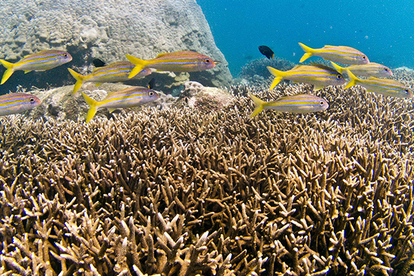
Biological resources such as fish habitats and marine mammal zones are mapped as either polygons or field identified concentration points. Some animal and plant species are especially vulnerable to the effects of oil spills. Under the ESI method these species have been classified into seven categories, each further divided into subcategories of species similar in their sensitivity to spilled oil. Many species that are vulnerable to oil are wide ranging and may be present over large areas at any time. These species can be especially vulnerable at particular times and places. - Resources Used by Humans
This includes subsistence and economic activities that depend upon the rich biological and coastal resources in the area.
There are four categories of human use resources which are especially vulnerable to the damages resulting from oil spills.
- High use recreational and shoreline access areas, such as boat ramps, marinas, recreational beaches, and spot fishing/diving areas.
- Officially designated natural resources management or protected areas.
- Resource extraction sites such as aquaculture sites, commercial fishing sites, mining leases, surface water intakes.
- Water-associated archaeological, historical, and cultural sites.
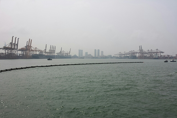
We have already completed ESI mapping in the Colombo Harbor up to Negombo Lagoon as a pilot project from US Pacific Command in the year 2016. Field data collection from Colombo harbor to River Bentota was done in the year 2019 and the map preparation is being continued.